Melbourne should be a city for walkers, says new Places for People report
Neil McMahon and Melissa Singer
How far can you walk in five minutes? A couple of hundred metres, or a whole city block?
The average person walks five kilometres in an hour, or 83 metres in a minute.
So in five minutes, that’s a distance of about 415 metres.
Remember that number, 415 metres.
In Melbourne terms, it’s about the distance between Flinders Street Station and the National Gallery of Victoria, or the intersection of Swanston and Little Collins streets.
 A map showing a 415 metre radius around Flinders Street Station. Picture: Jamie Brown
Now, if you live or work in central Melbourne, think about how you go about your day. The services you need, the places you go, the things that you buy.
The post office to send a Christmas present to Mum, the coffee shop, a doctor when you’re feeling unwell.
Now, think about that magic number: 415. How many of those tasks can you complete without having to walk more than 415 metres?
This is the puzzle that city planners are itching to solve as Melbourne moves in to the future. They want Melbourne to be a city of 15 mini-cities within a thriving metropolis where pedestrians – that’s you – are king.
Parliament – that’s one mini city. Melbourne Central is another. The Docklands. Southbank. And so on.
 The map showing the 15 districts of Melbourne, as defined by the Places for People report. Photo: City of Melbourne
So which areas are working? And which ones need more work?
A new report, Places for People, shows a city shooting upwards and sprawling outwards. The micro-analysis of the CBD was first conducted in 1993 and examines how the land in the city is used, who is using it and whether the available amenities service the needs of the residents, workers and visitors to central Melbourne.
The City of Melbourne’s chief planner, Rob Adams, says the report highlights the flaws in newer areas such as Southbank and Docklands. These areas are lacking many pedestrian-friendly aspects, which include easy access to public transport and green space.
Skyscrapers now overlook the once neglected Yarra River.
“As we build areas, we are conscious of that fact that are we providing everything within a walking distance of a reasonable point in that location,” he says.
The lord mayor, Robert Doyle, agrees Melbourne should be a place where “you’re five minutes from the services you need when you walk in any direction”.
Parks. Public transport. Sunlight. Cr Doyle wants city workers, residents and visitors to be able to walk to it all, in less time than it takes to boil an egg.
(If it sounds familiar, you may be thinking about the Napthine state government’s plan to make Melbourne a “20-minute city”, with every suburb within a short commute to everyday services and jobs.)
Collins Street in 2015 is unrecognisable from the days of 1886.
So this all sounds reasonable. How do they plan to do it?
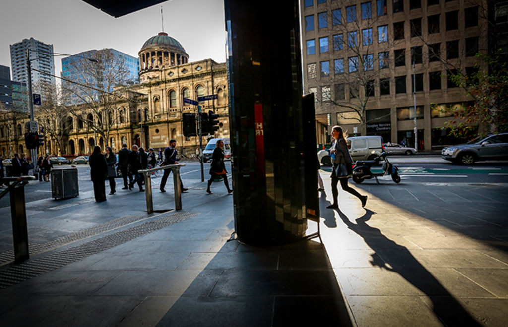
“You’ve got to think about not the motor car, not buildings, you’ve got to think about people. What are the people attractors and what are the things that get them staying here and entertained? If you think about people then your city suddenly becomes very useable, liveable, walkable,” Cr Doyle says.
By elevating the pedestrian above the car (hello, congestion tax!), the report hopes that future planning decisions will be more focused around access to public transport.
The report’s authors also want to see less space allocated to car parks – the number of on-site spots has ballooned from 40,666 in 1997 to 52,060 in 2012 – and ensure those that are built can be later converted to offices or apartments.
